
The use of GPS has revolutionized cruising. Gone are the days of navigating with a sense of dread due to uncertainty about your location. Knowing your position constantly is a fantastic advancement.
However, even the best technology isn't foolproof, as many cruisers will tell you. The key lies in using GPS data safely and conservatively.
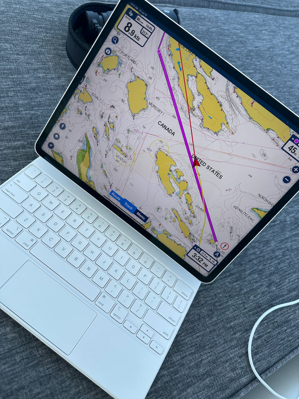
Chart Accuracy: A Reality Check
GPS precision is meaningless if your charts are off, which can happen anywhere, especially outside major industrialized nations. Here's how to address this:
- Assume inaccuracies exist: Always factor in potential chart discrepancies until you confirm their accuracy through other sources.
- Real-world examples: We've experienced this first-hand. While Salish Sea charts are accurate, discrepancies emerge in Desolation Sound, with reported beneath-the-surface rock location errors.
Never Rely on One Source:
While GPS is a marvel, don't become complacent. Always verify your position with a second source:
- Radar: Use radar to visually confirm your location relative to landmarks.
- Visual bearings: Take bearings on lighthouses or other fixed objects.
- Depth sounder: Depth readings can sometimes help identify your position.
Plotting Your Course for Safety:
Maintaining an accurate plot on a chart is crucial. This allows you to:
- Identify errors quickly: Regularly plotting your position reveals any discrepancies with your track.
- Understand currents: Comparing your actual (GPS) position with the dead reckoning track helps you calculate current effects and adjust your course accordingly.
Plotting Strategies:
- Offshore: Plot your position every watch (3-4 hours).
- Approaching hazards: Increase plotting frequency to hourly as you near landfalls or reefs.
- Difficult areas: Plot as you pass each buoy, headland, or island for maximum precision.
Understanding Currents:
Currents significantly impact your course and speed. Factor them to:
- Leverage favorable currents: Use currents to your advantage when possible.
- Mitigate negative effects: Adjust your course to minimize the impact of unfavorable currents.
Chart Reading Essentials:
Charts are packed with information, often in tiny print. Here's how to decipher them effectively:
- Symbols and abbreviations: Familiarize yourself with standard chart symbols and abbreviations. Keep a reference list handy.
- Highlighting key features: Mark important details on your chart, such as obstruction buoys.
The Takeaway:
GPS is a fantastic tool, but true navigational confidence comes from understanding its limitations and using it in conjunction with redundancies, traditional skills and practices. This ensures you'll reach your destination safely and confidently, even if a device fails.